|
EARLY MAP
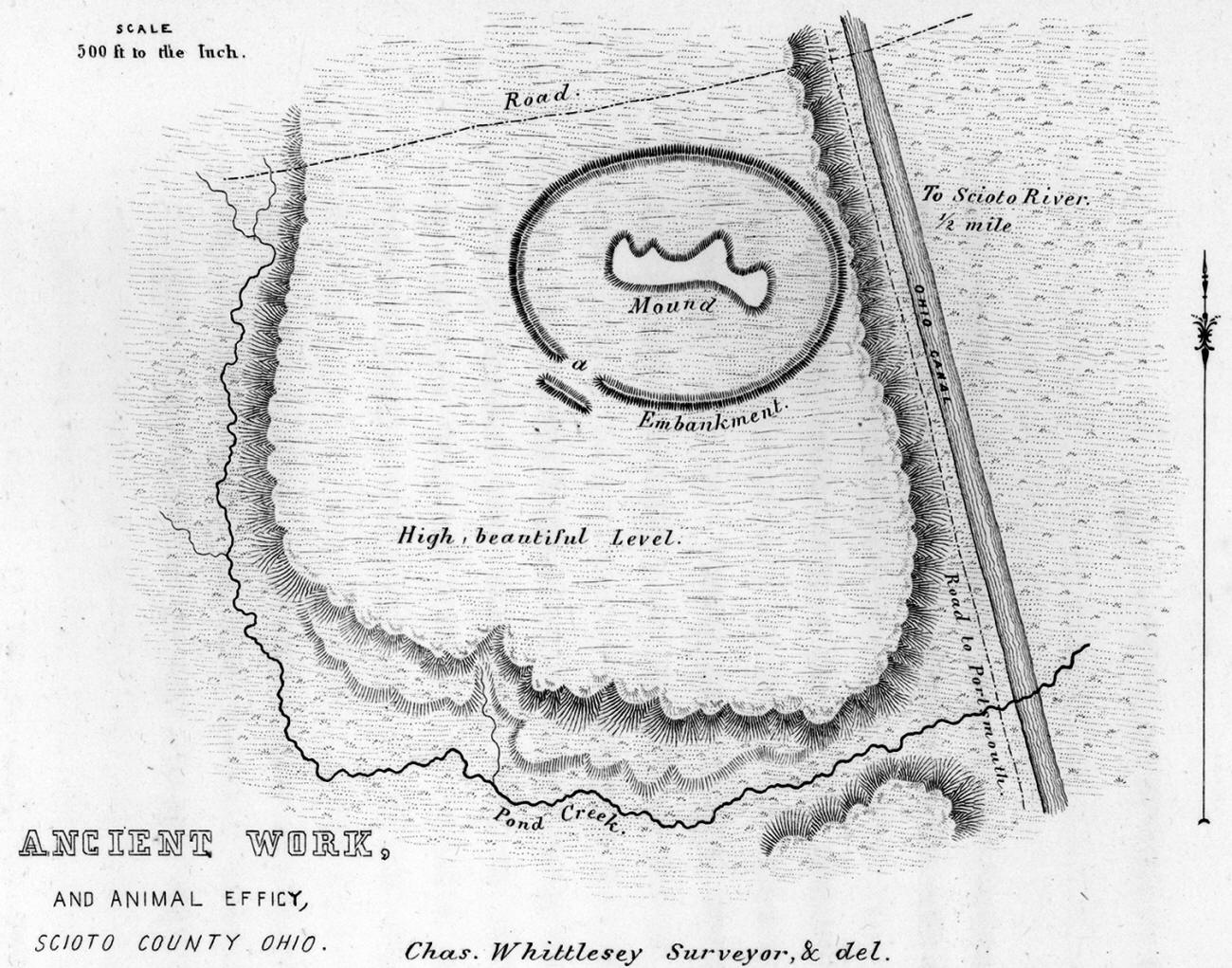
OF This is a map of the Tremper Mound site. It was published in 1848 by Squire and Davis in "Ancient Monuments of the Mississippi Valley." The Tremper Mound site consists of one irregularly shaped mound approximately eight to nine feet in height and measures about 120 feet wide and 250 feet long. The mound is surrounded by a slightly oval embankment measuring 400 feet by 500 feet.
|